
EASY-TO-USE
Convenient geographic Region CDs with all the latest official chart data delivered to you.
RELIABLE
Official NOAA chart data is transferred directly to CDs, and once charts are loaded into your navigation system, the CDs serve as a handy back-up for your critical navigation data.
COST EFFECTIVE
Only $20 per CD Region per month DELIVERED! (Annual purchase required)
United States Coastal Waters and Inland Rivers
A Turn-key Solution for the Latest Nautical Chart Data.
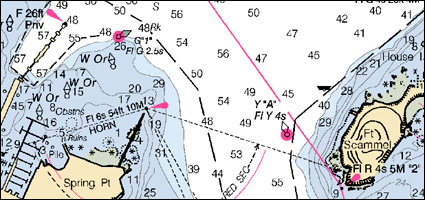
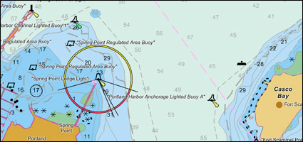
Annual Professional Nautical Chart service provides monthly distributions of fully NTM updated, official U.S. Nautical Charts on Region CDs. Official NOAA RNCs and ENCs are suitable for navigation and can be used to meet Federal Nautical Chart Carriage Requirements.
Products Feature:
RNCs NOAA Raster Nautical Charts in BSB format 3
ENCs NOAA Electronic Nautical Charts in S-57 format 3.1
IENCs U.S. Army Corps. Of Engineers Inland Rivers ENCs
Monthly distributions of the latest official Nautical Charts for the following areas: Unites States, Canada, and Meso-American Caribbean Region.
CG PDF Downloads
CG Region Map
 |
 |